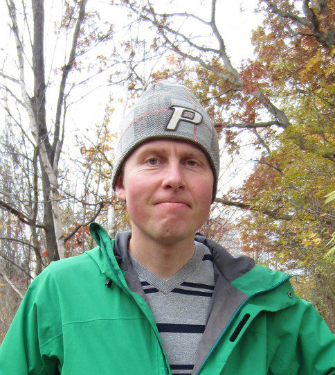
Introducing WOC2025 map maker – Janne Weckman
Who are you?
Janne Weckman, Vehkalahden Veikot.
When did you start orienteering?
The first time I went into the terrain with a map was probably when I was 5 years old, and my first race was when I was 7 years old. Orienteering has been a hobby for as long as I can remember.
What is your best memory of orienteering?
The third place I got in the 8-year-old class in an Oravapolku competition in 1985 is an important memory that sparked my interest. We have won the Jukola relay once, but looking back, the best part was all the time we spent practicing, attending camps and competitions in Vehkalahden Veikot’s group, and aiming for the moon.
What is the most special event in your mapping or orienteering career?
One night, in Southern France, somewhere north of Le Caylar, I was sitting in a car with Marc Lauenstein, who was driving the car registered under his name with a Swiss license plate. Baptiste Rollier and Tuomas Mattila were also in the car, wearing headlamps and ready to practice night orienteering. Suddenly, the car behind us flashed its blue lights, and we thought we might have been speeding. We pulled over, and a man in military uniform appeared in front of each door with an assault rifle. We quickly realized that it might not have been the police. After an exchange of words in French, our bags were investigated, and one of the men was holding a white pill jar with a serious expression on his face. Baptiste got out and explained the situation in French. It turned out that the border guard had stopped us, suspecting that we were taking narcotics into the forest. After a sigh of relief, we finally made it to the terrain and started orienteering as planned.
What is the best map in Finland?
Personally, I think a good map should be accurate, readable, and in accordance with the description instructions. The objects on the map should stand out in the same proportion as in the terrain, and the curves should be drawn in places where there are visible shapes in the terrain. It is hard to say which is the best map, but as an old Kymenlaakso resident, I think the orienteering map of Repovesi National Park (possibly drawn by Veijo Tahvanainen around 1993?) is one of the best. The terrain is world-class, and the map is made with pen and paper, so it is more like a work of art. But there are also many other very good maps that are a pleasure to navigate.
What is your role in the MM-Kuopio mapping project?
My role is to make maps and possibly do some map secretary jobs.